IIC Academy

Our programs

IBSC-recognised hydrographic and marine geospatial training — flexible online theory paired with intensive hands-on field work.

Choose your pathway

Three routes into the profession

Hydrographic surveyors on the shoreline
IBSC-recognised

S-5B Hydrographic Surveying

Practical competencies for operational survey roles — planning, acquisition, processing, QA/QC, and final product delivery.

15 weeks online theory across a 31-week window
7 weeks hands-on field training
Know more
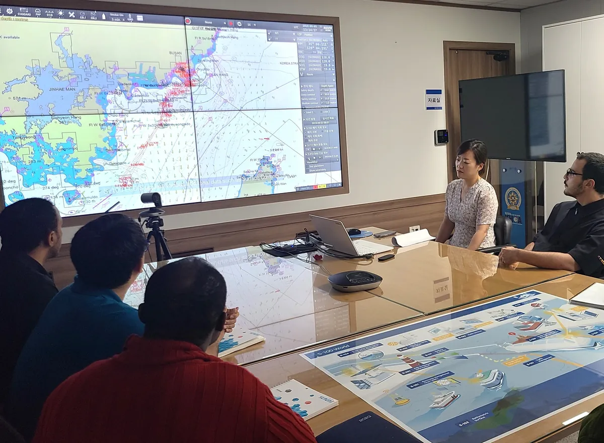
Marine geospatial information training
IBSC-recognised

S-8B Marine Geospatial Information

Core competencies for modern nautical chart compilation and production — for operational roles in chart production environments.

Instructor-led theory, September–April
4–6 week Comprehensive Cartographic Project
Know more
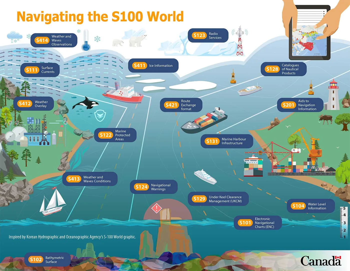
S-100 world infographic
Seminars & workshops

S-100 Training & Seminars

Targeted training on the IHO Universal Hydrographic Data Model, drawing on direct involvement in S-100 implementation worldwide.

For organizations & professionals
Standards, product specs & implementation
Know more

In the field
Glimpses from our programs

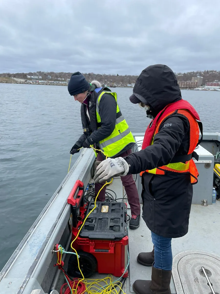
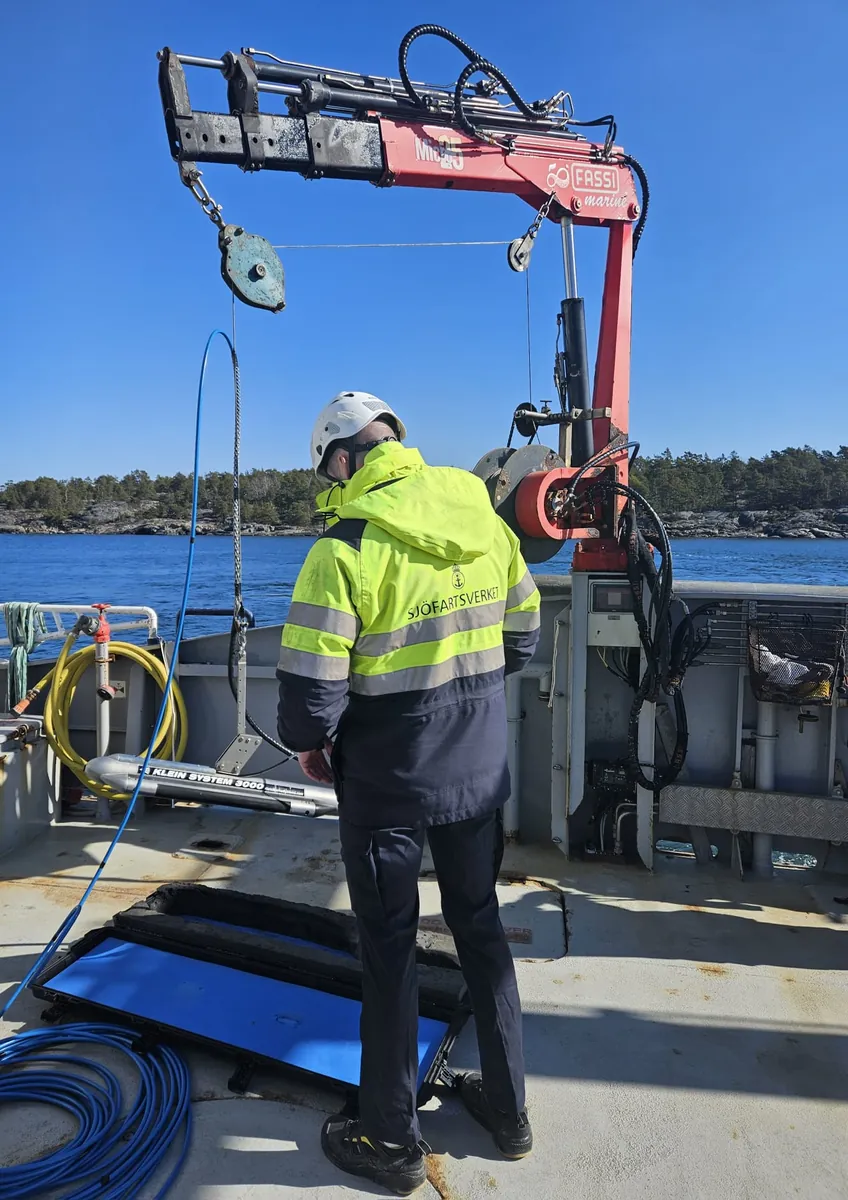
Deploying a side scan sonar towfish from the vessel crane
Survey vessel operations
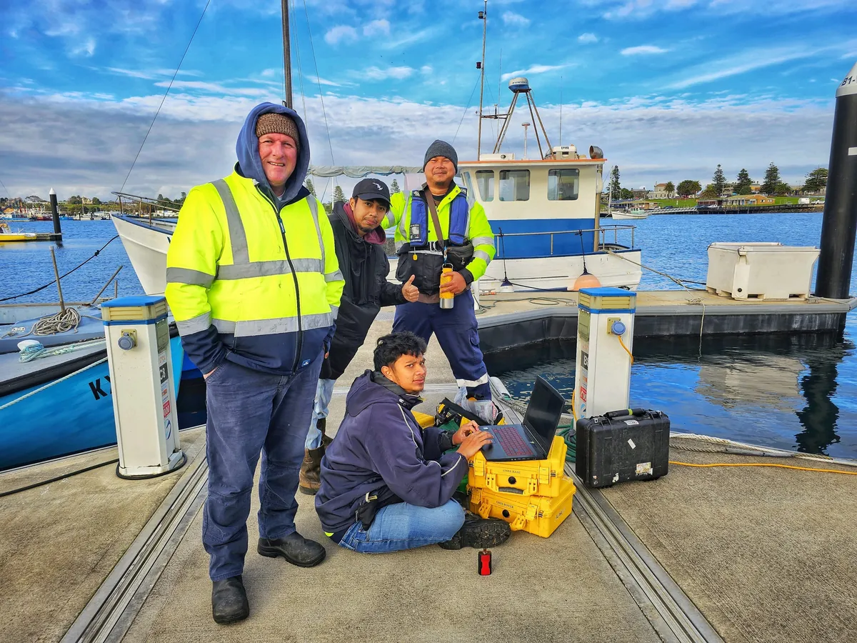
Field team setting up GNSS base and rover equipment on the wharf
Practical field training
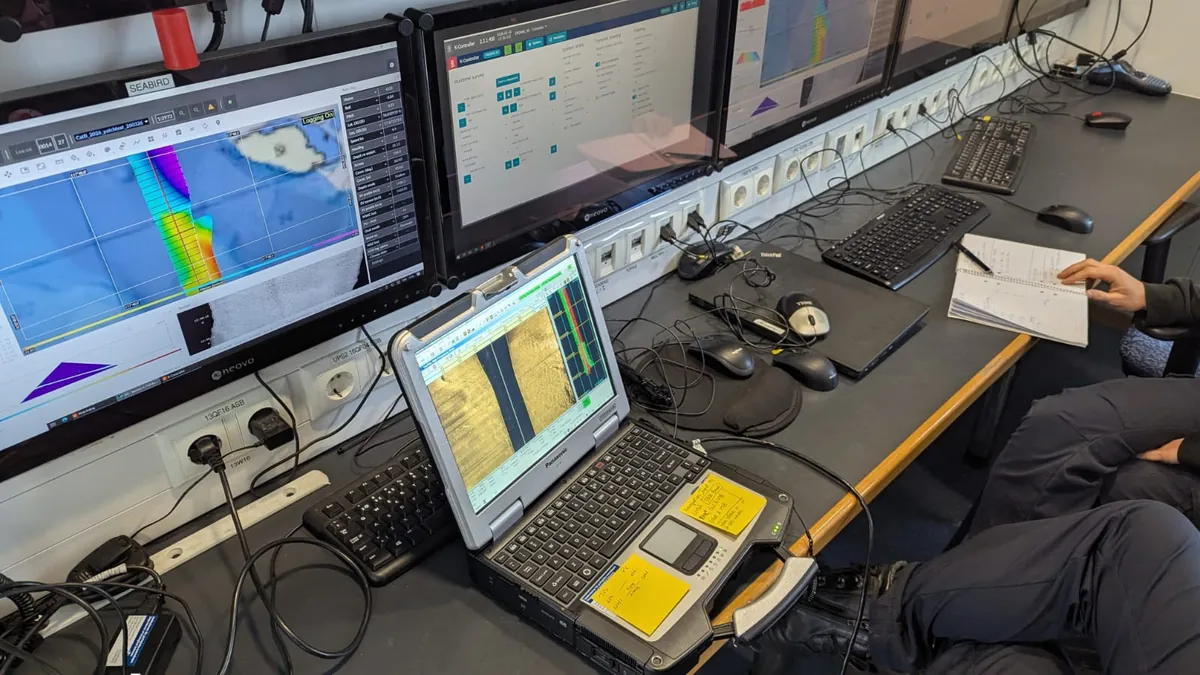
Multibeam acquisition displays at the survey workstation
Multibeam data processing
Levelling a GNSS antenna over the mark at the jetty
GNSS base station setup
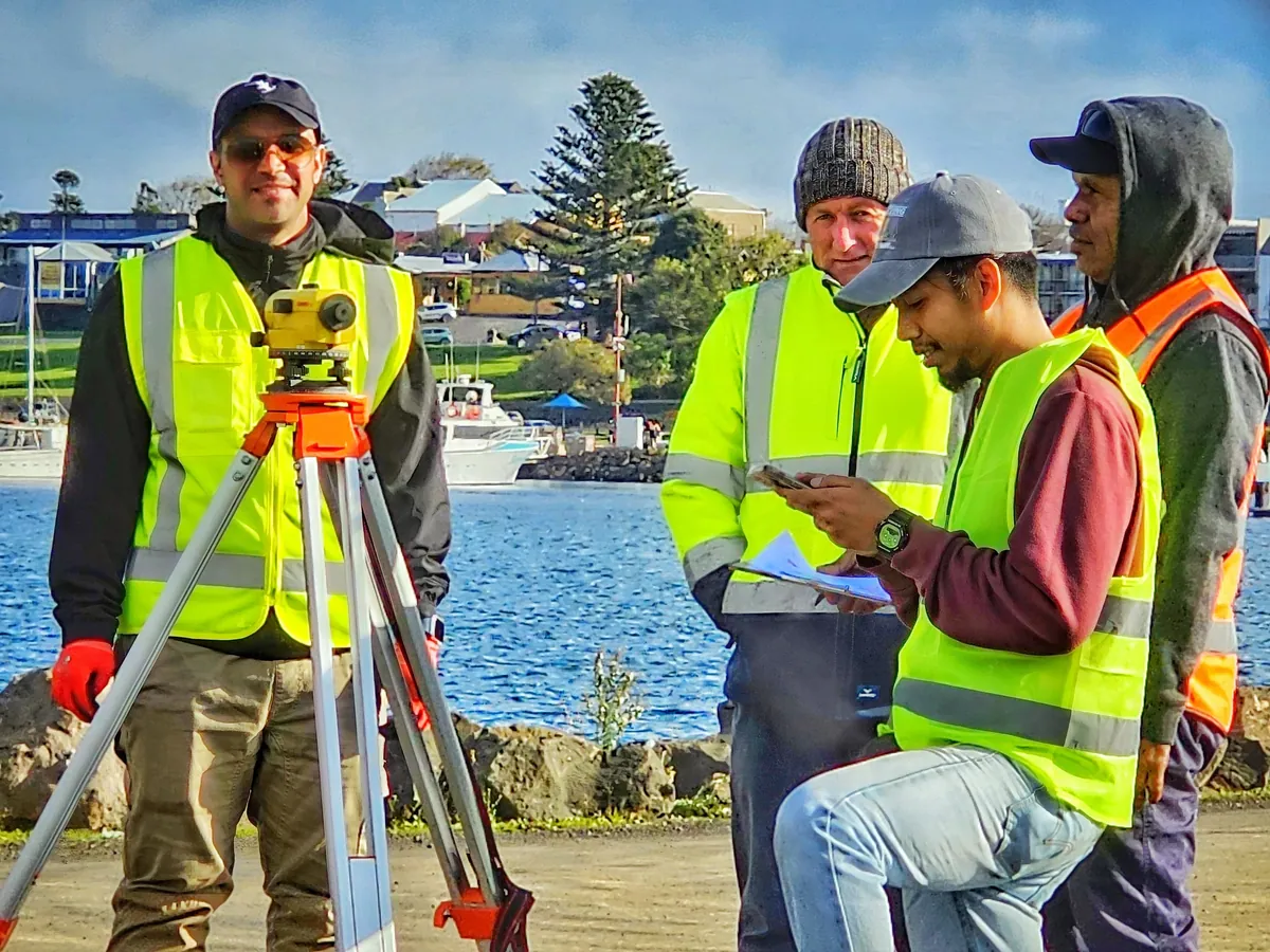
Instructor and trainees running levelling exercises on site
Onsite training
Assembling a survey sensor in its transit case before deployment
Sensor preparation
Deploying a sound velocity probe over the side of the survey boat
Sound velocity profiling
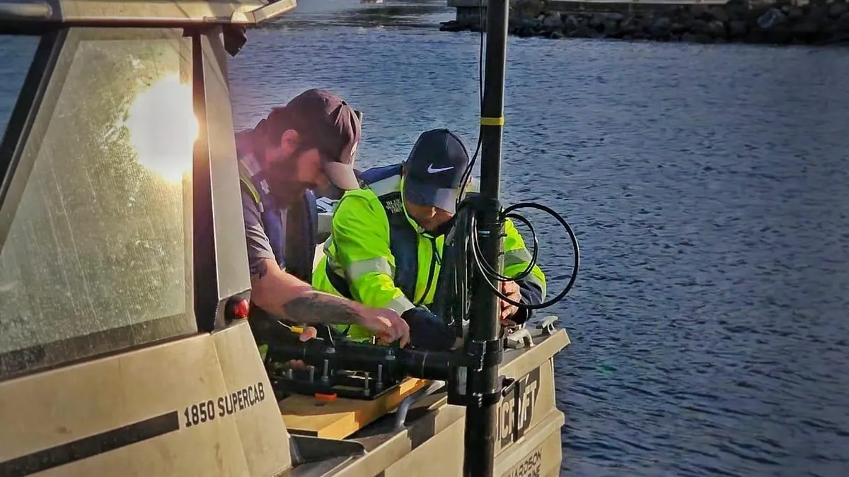
Mounting survey equipment on the vessel at the waterline
Hands-on training
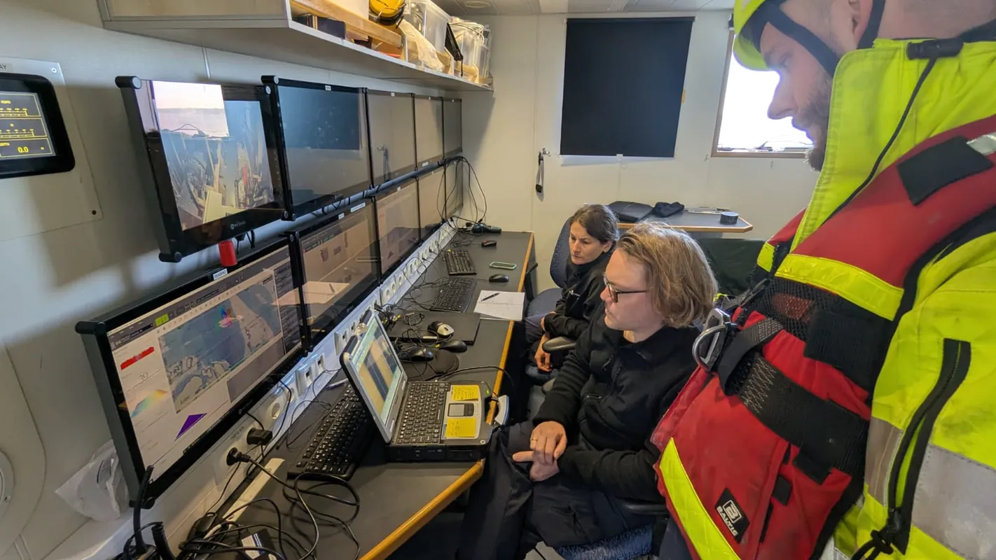
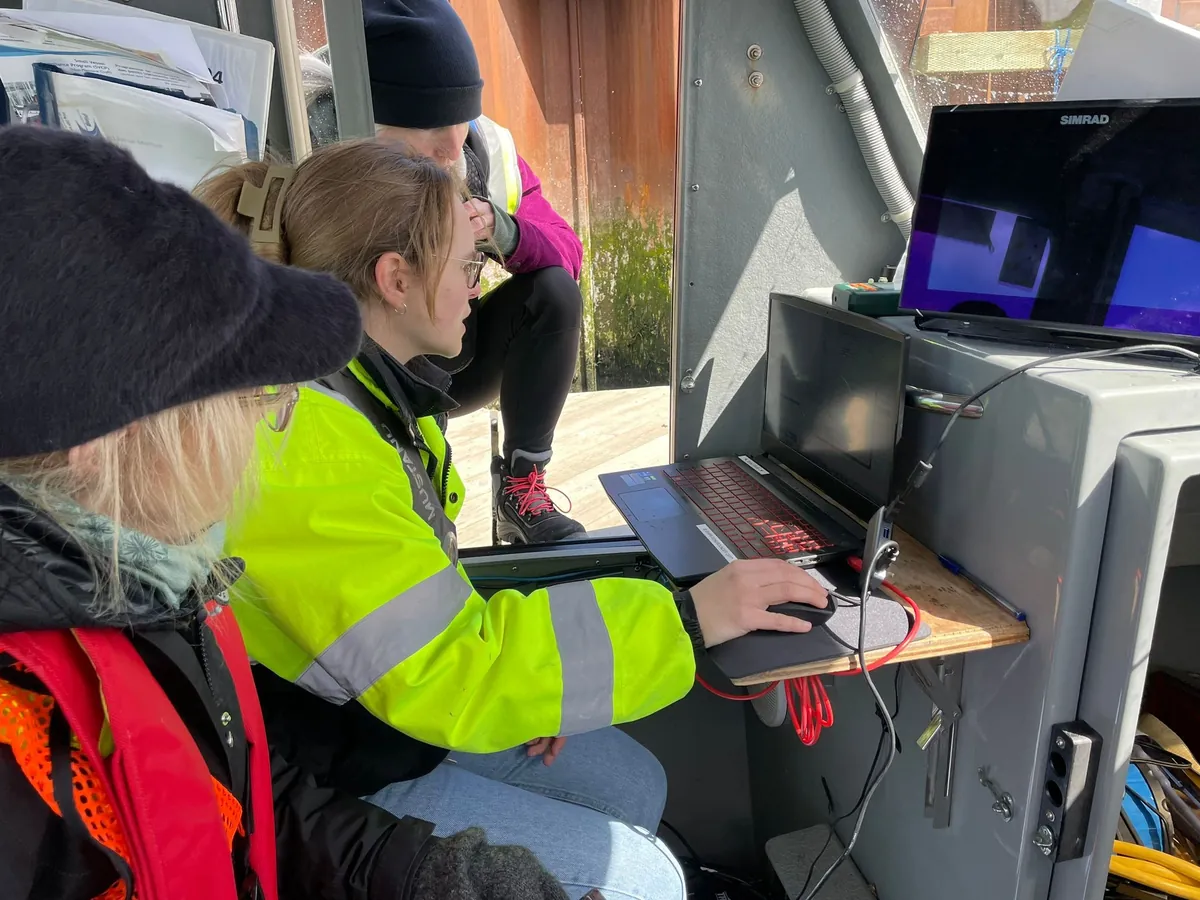
Reviewing acquisition displays during onboard system checks
System checks
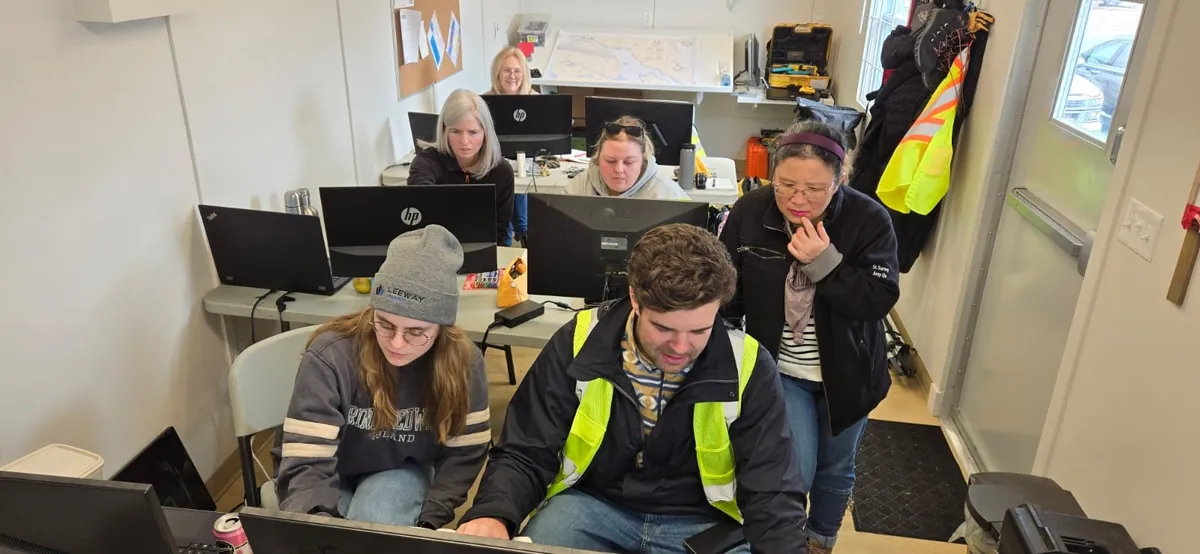
Classroom session with trainees working through processing software
Classroom training
S-8B Marine Geospatial Information programme
Hydrographic chart analysis
Survey vessel operations
Practical field training
Multibeam data processing
GNSS base station setup
Onsite training
Sensor preparation
Sound velocity profiling
Hands-on training
System checks
Classroom training
Hydrographic chart analysis

Not sure which program fits?

Tell us your background and goals — we'll point you to the right pathway and send full pricing and start dates.