
IBSC Category B program
S-5B Hydrographic Surveying
Hydrography & marine survey operations — your first step on the path to becoming a Certified Hydrographer.
About the program
Built for the real world
Hydrographic surveying plays a critical role in safe navigation, coastal development, marine environmental management, and national infrastructure. The S-5B program offered by IIC Academy provides the competencies required to support these activities in a modern survey environment.
Recognised by the FIG/IHO/ICA International Board on Standards of Competence (IBSC), this program provides a structured learning pathway combining online theoretical instruction, guided practical exercises, onsite field training using professional survey equipment, and a Comprehensive Final Field Project.
Graduates receive a Certificate of Completion of a Recognised Program.
Online theory across a 31-week access window
3 weeks practical + 4 weeks final field project
Covering the full S-5B competency framework
Your path to becoming a Certified Hydrographer

Recognised by the FIG/IHO/ICA International Board on Standards of Competence.
Program delivery
How the program is delivered
Theory is delivered online by default, with select cohorts able to access on-site delivery through partner institutions depending on region — the program is flexible to both formats.
Online or on-site theory
- Live webinars introducing each module
- Recorded lectures, readings, and guided exercises
- Quizzes and exams marked by instructors with feedback
- Progress dashboards and instructor messaging
- Access via Blackboard Learn LMS on any device

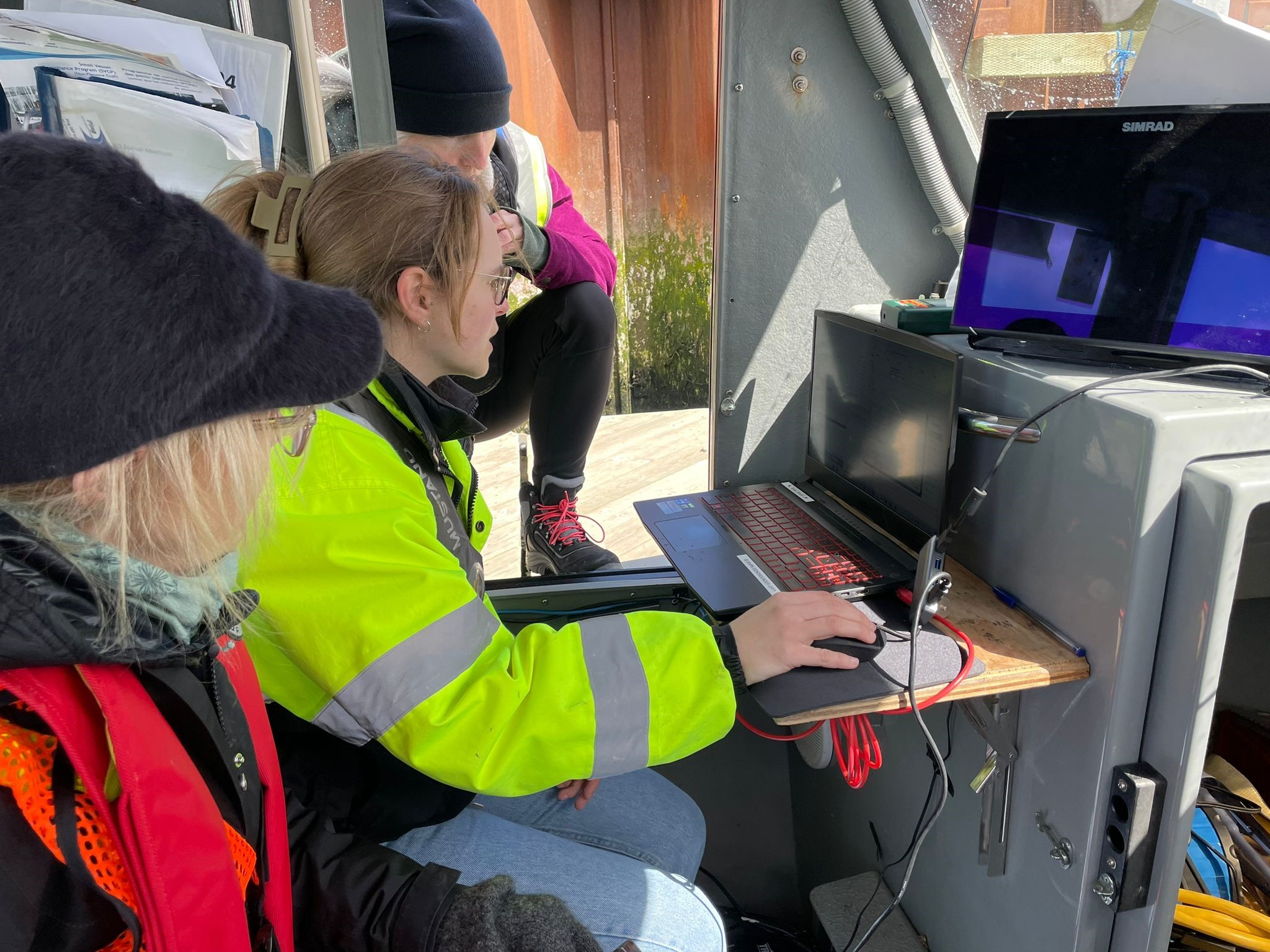
Practical training
- Set up GNSS and land survey control
- Install and verify a tide gauge
- Mobilise a survey vessel and calibrate sensors
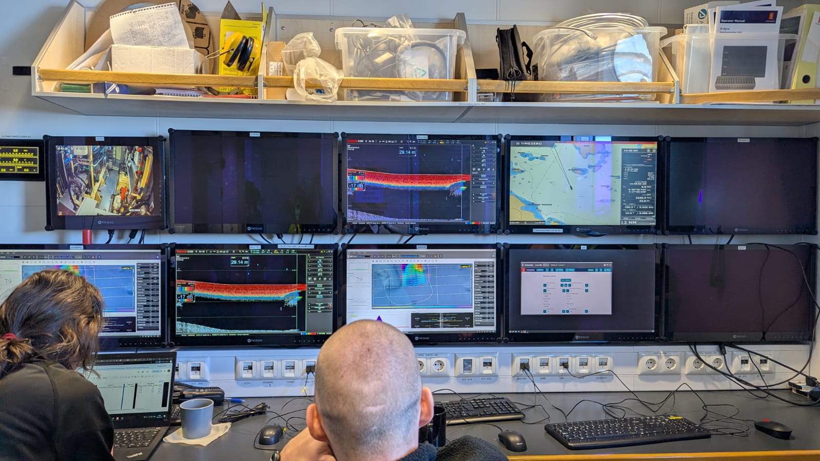
- Acquire multibeam, single-beam, and side-scan sonar data
- Collect sound speed profiles and sediment samples
- Initial processing and quality checks

Comprehensive Final Field Project
- Plan the survey — area, lines, coverage, standards
- Mobilise the vessel and equipment
- Acquire all required data
- Process and clean the datasets
- Create bathymetric surfaces and supporting products
- Prepare and present a final report with charting recommendations