IBSC Category B program

S-8B Marine Geospatial Information

Nautical cartography & chart production build the competencies for modern chart compilation and production workflows.
Online Sept–April4–6 wk cartographic projectEnglish · Spanish · French
Marine geospatial information training at IIC Academy

About the Program

Charting the Future of Navigation

Nautical cartography supports safe navigation, marine resource management, and national maritime development. The S-8B Marine Geospatial Information program equips students with the competencies required for modern nautical chart compilation and production workflows, combining theoretical knowledge with practical application.

Recognised by the FIG/IHO/ICA International Board on Standards of Competence (IBSC) as a Category B program, the S-8B combines instructor-led online theory with guided practical exercises and a Comprehensive Cartographic Project (CCP) that simulates real operational chart production workflows.

Graduates gain competencies aligned with IHO S-8 Category B standards and are prepared for operational roles in nautical chart compilation and marine geospatial production environments worldwide.

S-8B Marine Geospatial Information
8
Months Theory

Typically September through April, instructor-led online modules

4-6
Weeks CCP

Comprehensive Cartographic Project

6
Core Areas

Covering the full S-8B marine geospatial competency framework
S-8B
IHO Standard

Aligned with S-8, S-57, S-4, and foundational S-100 concepts
IBSC

Recognised by the FIG/IHO/ICA International Board on Standards of Competence — Category B

Curriculum

Six core competency areas

01

Foundations of Marine Geospatial Information

Core principles of marine geospatial data, nautical charting fundamentals, and the role of geospatial information in maritime safety.

02

Data Assessment & Compilation

Working with S-57 data, assessing source quality, applying production tools, and compiling geospatial datasets for chart production.

03

Chart Production & Validation

End-to-end chart production workflows including compilation, symbolisation, validation, and quality assurance.

04

Marine Environment

Oceanography, geology, and Law of the Sea as they relate to marine geospatial data and nautical chart content.

05

Marine Spatial Data Infrastructure & S-100

Foundational S-100 concepts, spatial data infrastructure principles, and the future of digital nautical charting and ECDIS.

06

Remote Sensing for Marine Applications

Principles of satellite and airborne remote sensing and how they support marine geospatial data collection.

Program Delivery

How the Program Is Delivered

Online or On-Site Theory
September — April
Instructor-Led Online or On-Site Theory
  • Live webinars introducing each module topic
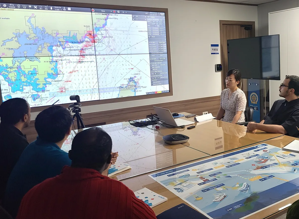
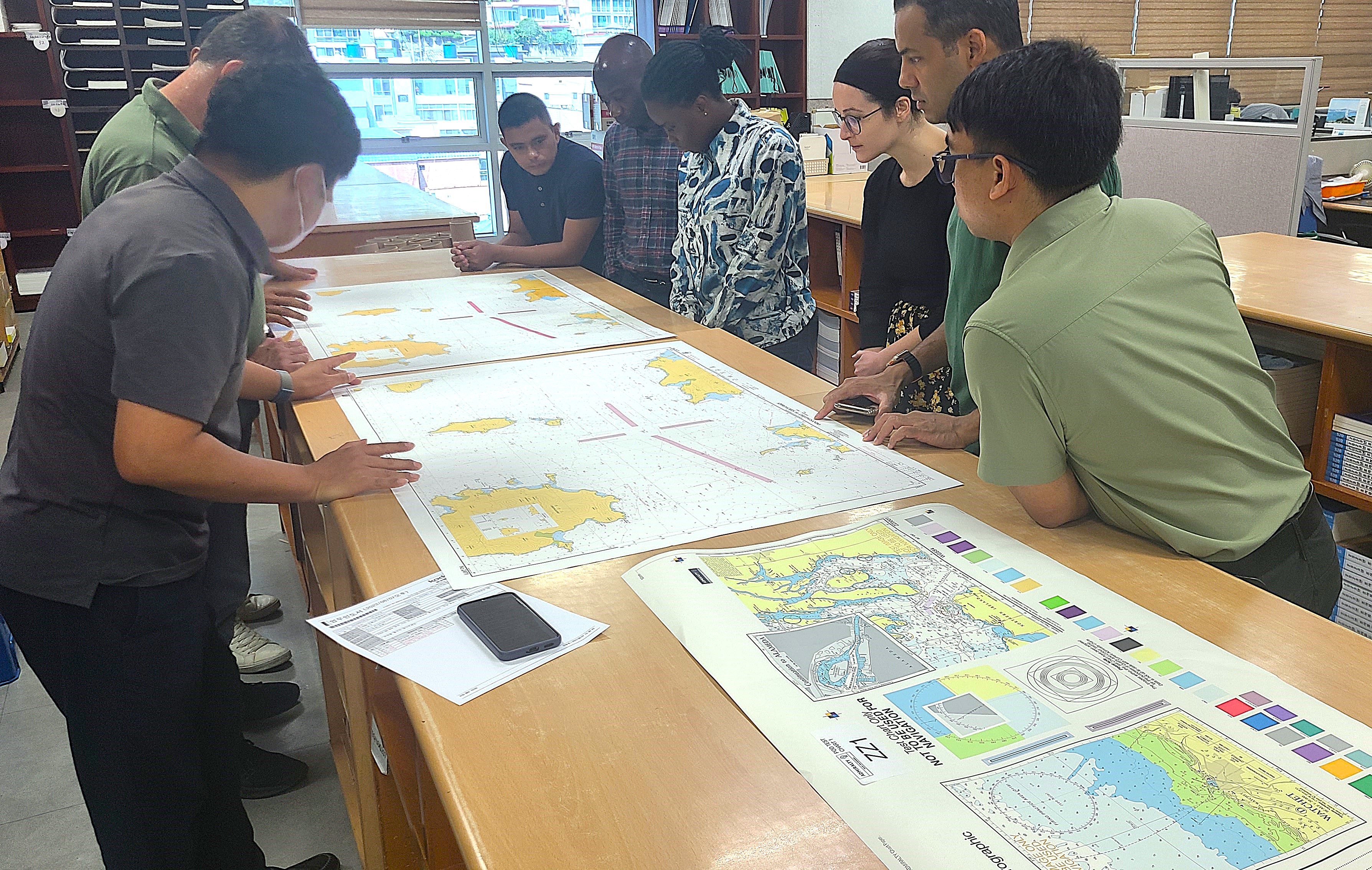
  • Guided practical exercises using real geospatial datasets
  • E-learning modules with structured assessments
  • Foundations of marine geospatial information and nautical charting
  • Data assessment, compilation, and chart production workflows
  • S-57, S-4, and foundational S-100 concepts
Comprehensive Cartographic Project
May — August
Comprehensive Cartographic Project
  • Apply all theoretical knowledge to a real chart production workflow
  • Assess and compile source data for chart production
  • Produce nautical chart products meeting IHO standards
  • Validate and quality-check all outputs
  • Prepare and present a final cartographic report
  • Simulates operational chart production environments
Program Format
Blended Delivery
Designed for Working Professionals
  • Study online while maintaining your current role
  • Structured schedule with clear milestones and deadlines
  • Instructor support throughout theory and CCP phases
  • Access to professional cartographic software and datasets
  • International student cohorts from diverse backgrounds
  • Region-dependent CCP scheduling for flexibility

Learning Management System

Blackboard Learn

All theoretical content is delivered via IIC Academy's cloud-based LMS, accessible on desktop, tablet, and modern mobile devices. Each module starts with a live webinar and continues with supervised and self-paced study.

Live Webinars E-Learning Modules Guided Practicals Instructor Messaging Assessment Submission Progress Tracking

Program Schedule

Typical Program Timeline

Please note: All dates shown below are tentative and provided as a general guide only. Actual program dates may vary depending on intake, region, and scheduling requirements. The CCP phase timing is region-dependent. Contact the admissions team for confirmed dates for your intake.

Phase 1
Typical
August

Students gain access to the LMS and begin program familiarisation. Review introductory materials, explore the platform, and prepare for the formal theory phase.

Phase 2
Typical
September — April

Instructor-led theory begins, delivered online or as a bespoke on-site program depending on cohort needs. Students attend live webinars, complete e-learning modules, participate in guided practical exercises, and submit formal assessments across all six competency areas. Available in English, French, and Spanish — the official languages of the IHO.

Phase 3
Typical
April

All online theory modules and assessments are finalised. Students confirm eligibility and readiness to progress to the Comprehensive Cartographic Project.

Phase 4
Typical
May — August

The Comprehensive Cartographic Project (CCP) commences. Students apply their theoretical knowledge to a real chart production workflow, producing nautical chart products that meet IHO standards. CCP timing is region-dependent.

Prerequisites

Who the Program Is For

This Program Is Designed For
  • Early-career cartographers looking to formalise their skills
  • GIS and geospatial professionals transitioning into marine cartography
  • Hydrographic and maritime organisation staff involved in chart production
  • Candidates seeking professional certification in nautical chart production
  • Professionals working with or preparing for S-100 and digital charting standards
To Apply You Will Need
  • Current CV outlining your professional and academic background
  • Academic transcripts or diploma from a relevant field of study
  • Two professional references from supervisors or academic contacts
  • English language proficiency sufficient to follow technical training
  • Background in GIS, geography, cartography, geomatics, or a related discipline is preferred